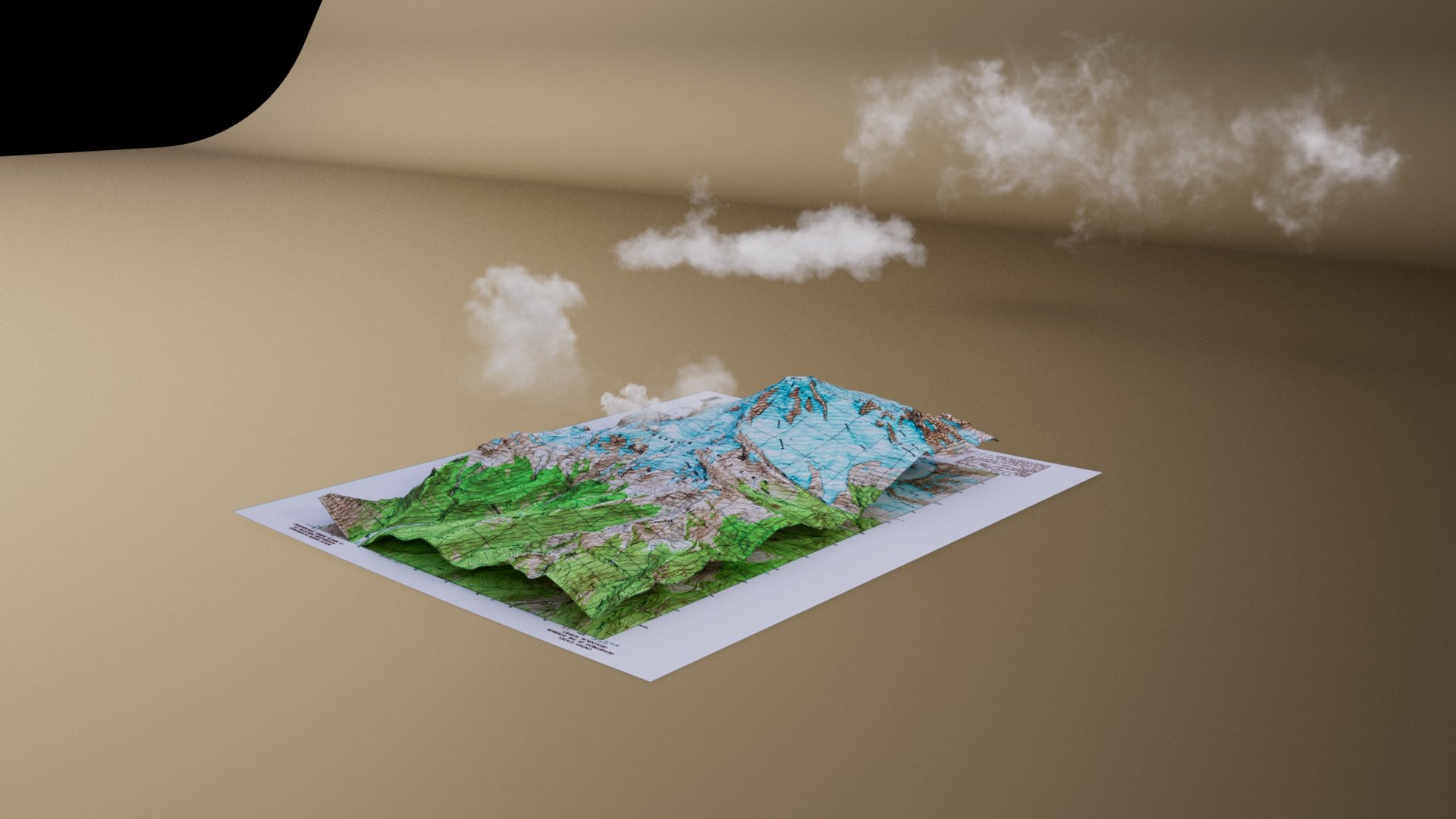
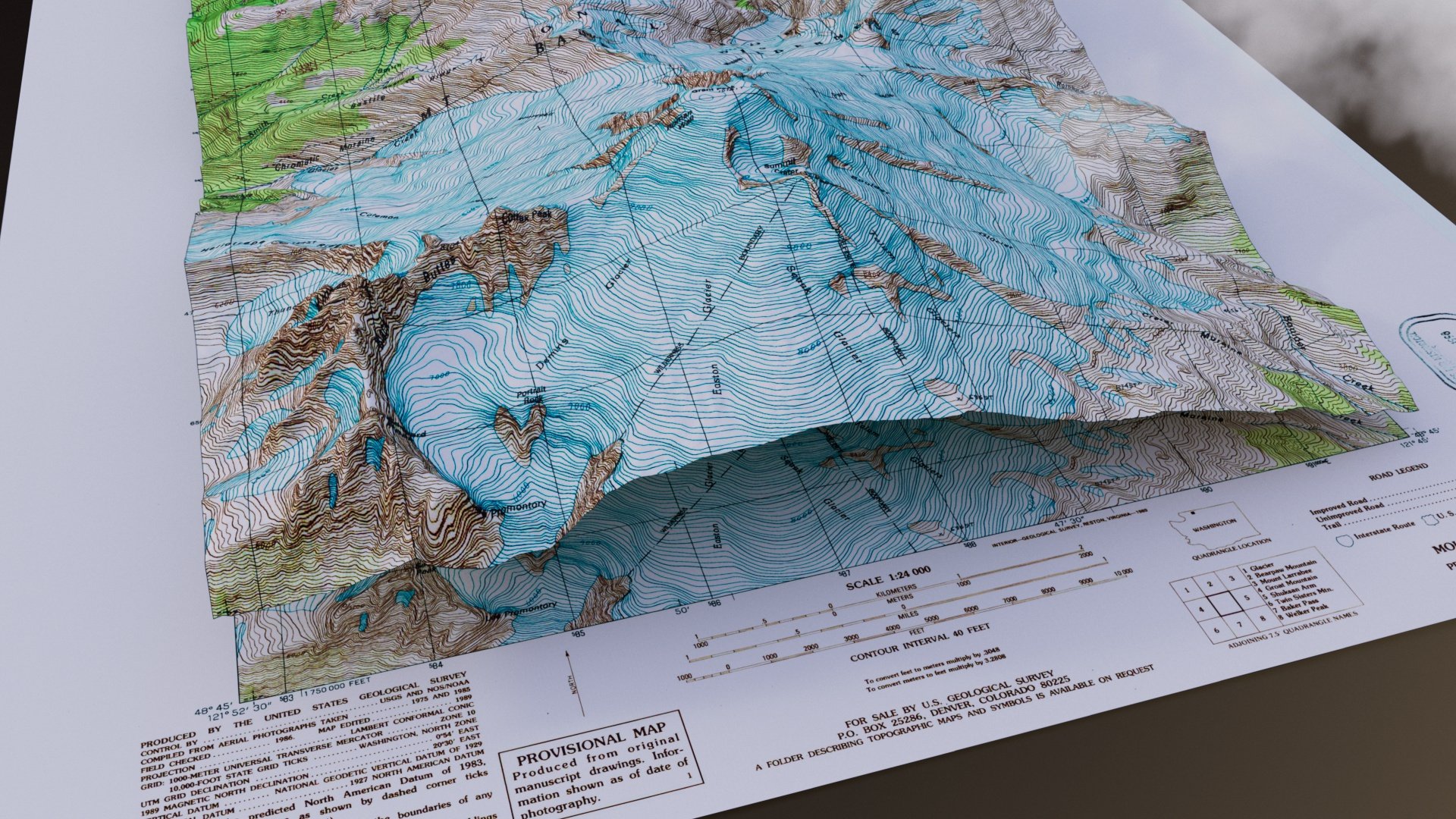
Mount Baker Map
I’ve loved maps ever since I was a child. Especially topographic maps, because after I learned to read them I could see the landscape come alive. That’s the idea behind this video—watching something 2D grow into something 3D that you might see walking around.
The maps and elevation data in used in this video came from the USGS Map downloader and is public domain. I formatted the data in GIS software and imported into Cinema 4D, where I built, lit, and animated the map to reach this final product.